After a few tense days of radio silence, Mignon and “The Internets” team finally arrived in Darwin safe and in one piece! The guys have had a blast, smashed their $20,000 fundraising target and are happy the shitbox and its equipment survived the harsh journey, much of it off-road.
The first thing I did of course was to download the GPS data and see if there’s anything interesting to visualise from the trip.
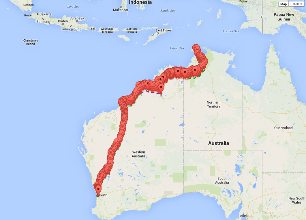
First off some quick graphs of the raw data from 30/05/14 to 06/06/14.
Speed of course is the most interesting, next up I will plot this against who was driving, and do some more interesting mashups.
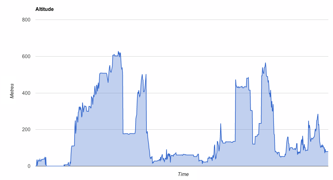
Here’s the altitude graph. The slopes seem steep until you remember the graph spans 3,000kms!
I was interested to see the GPS accuracy was fairly consistent throughout the trip, except one patch early on. I couldn’t see any correlation between altitude and accuracy, but we’re only talking 600m.
HDOP is an error multiplier, so low is better. Unfortunately I’ve not been able to find the base accuracy of our GPS device (the hardware specs are mysteriously silent) so I’m assuming it’s 5m which is pretty common (or a pessimistic 10m). For most of the journey the HDOP was around 2-3 meaning an estimated accuracy of around 10-30m. Certainly zooming into the map does usually show the car on the road at the highest zoom, so it could be as low as 5m A 3D-fix from 8 satellites was typical.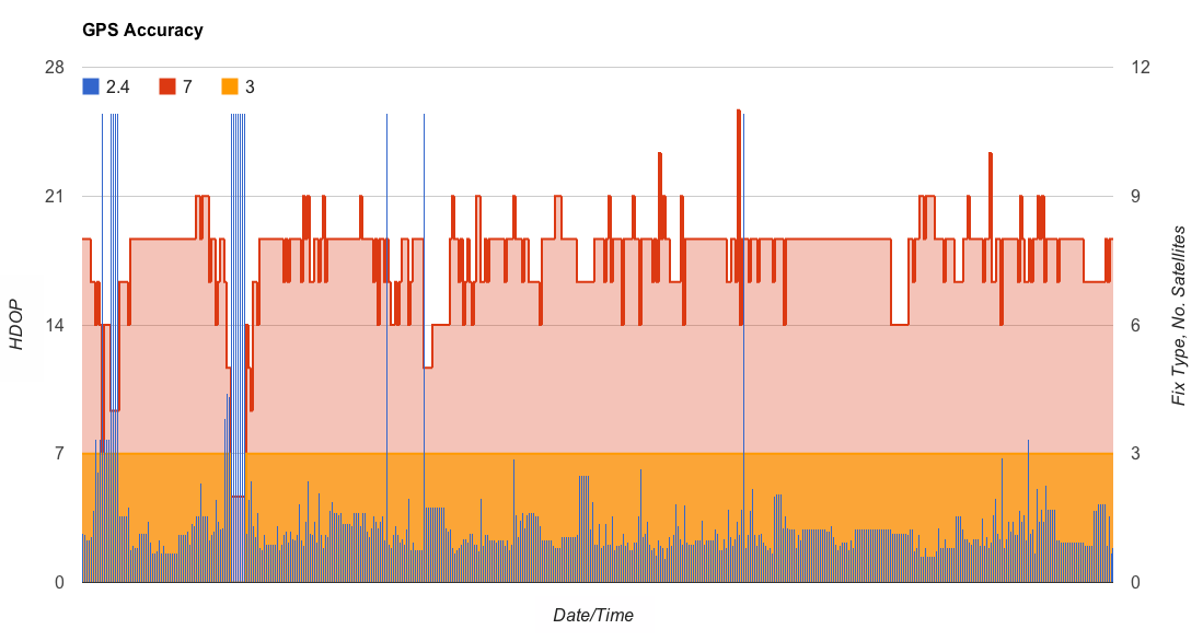
I’m hoping to release the data so anyone can use it to do interesting things with. After all we’ve just logged satellite and phone coverage across half a continent!
Read more at http://rallythefuture.com.au.